
Belmont ZIP Code Coverage
USPS identifies Belmont’s main office with 02478. That is the verified current postal starting point for a Belmont address. The research also found a historical 02479-to-02478 destination reference, but no current official USPS location result establishing 02479 as a general Belmont-serving ZIP. The table keeps those two Belmont facts separate. It is better to leave an unconfirmed postal designation unexpanded than to turn an historical clue into a current coverage claim.
| ZIP | Areas | PO | Notes |
|---|---|---|---|
| 02478 | Standard Belmont mailing ZIP. Belmont Center, Belmont Hill, Waverley, Cushing Square, and other town addresses are commonly associated with it. | Belmont Post Office, 405 Concord Ave., Belmont MA 02478-9998, 617-484-4201 | Verify the full address with USPS. Postal lines do not establish municipal lines. |
| 02479 | Current general Belmont service was not established by the official lookup reviewed. | Current official post-office result not located. | Historical destination reference only. Do not treat it as a current general ZIP without USPS confirmation. |
This postal directory is therefore a reference, not a townwide list of people or a municipal-boundary map. It can narrow a delivery address before an official parcel, voter, or historical-record search. It cannot show who receives mail at that address, prove a person is present, or turn a postal label into proof of tax ownership.
Belmont 02478 Postal Check
The USPS Belmont Post Office listing places the main office at 405 Concord Ave. in 02478 and lists hours of Monday through Friday, 7:30 to 5:30, and Saturday, 8 to 2:30. The research also identifies Waverley station at 492 Trapelo Rd. as a nearby alternate. These are postal-service details, not evidence that all nearby addresses share the same delivery pattern.
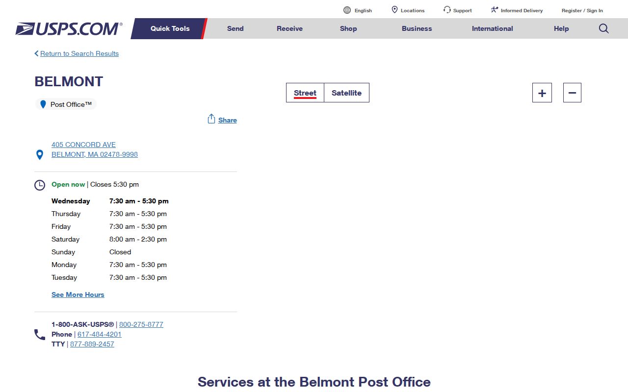
The office result confirms a Belmont postal facility and its listed ZIP. Use the address lookup for a specific Belmont street address instead of assuming a ZIP from the name of a historic area or nearby station.
Belmont USPS Lookup Fields
USPS ZIP Lookup provides three useful routes. By Address checks a street address with city and state. By City and State returns postal information from those place fields. Cities by ZIP returns USPS-recognized city names for a supplied ZIP. The address route also accepts optional company, apartment or suite, and ZIP fields. USPS warns that a successful lookup does not confirm a person or company is present there.
| Lookup mode | Required fields | Optional fields | What it returns |
|---|---|---|---|
| By Address | Street address; city and state | Company, apartment or suite, ZIP | Postal address and ZIP relationship |
| By City and State | City; state | None stated | Postal information for that place entry |
| Cities by ZIP | ZIP | None stated | USPS-recognized city names |
The USPS screen is the right first test for a Belmont delivery question. Keep the returned spelling and unit format when comparing it with a deed, assessor card, voter request, or older printed directory.
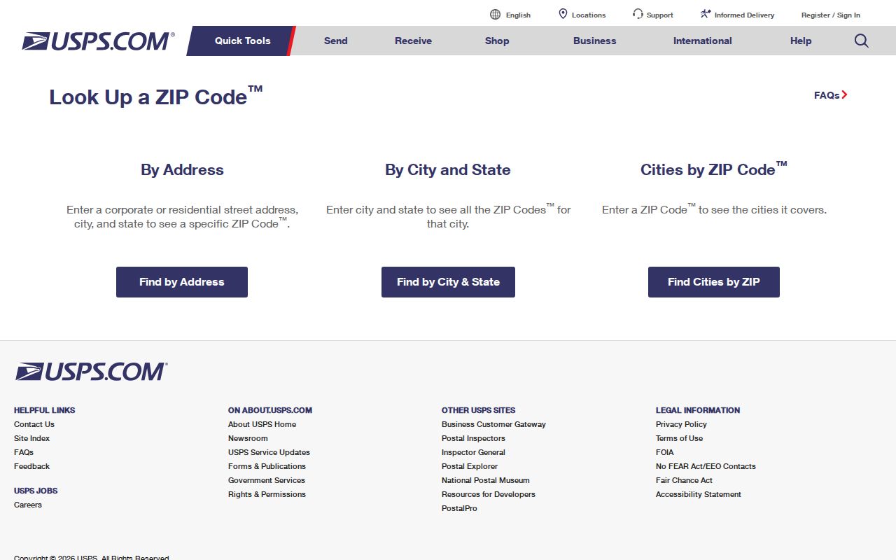
USPS supplies a delivery-standard check. It does not supply a resident roll, property-title conclusion, or municipal-jurisdiction determination.
Belmont Geocoder Address Match
The Census Geocoder is a second Belmont route for checking an address and ZIP relationship under a selected benchmark and vintage. The research’s official sample for 120 Gilbert Rd, Belmont, MA resolved to Belmont MA 02478. That confirms how the geocoder returned that Belmont address. It does not replace USPS delivery standards or establish who lives at the location.
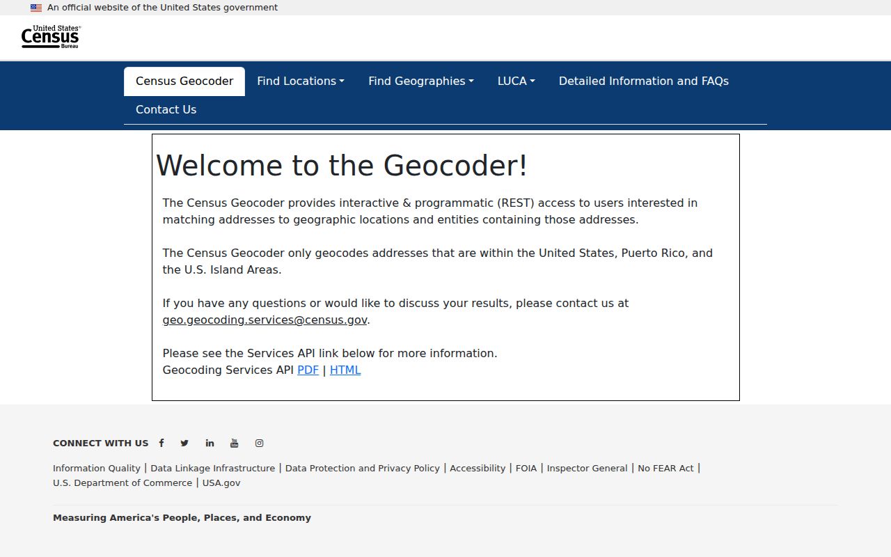
Use a geocoder result as a cross-check when an address is older, abbreviated, or uncertain. Preserve the benchmark date with the result, since a geographic lookup reflects the selected dataset rather than a permanent statement about delivery service.
Find Belmont Residents by ZIP
Once USPS has confirmed a Belmont delivery address, move to the public record that matches the question. Belmont’s assessor portal does not expose a ZIP-wide public filter in the captured text, and the live ZIP-filter status of Vision advanced search and Belmont GIS was not verified. The annual assessment reports do expose mailing city, state, and ZIP one row at a time. The state voter form uses a residential ZIP only as part of an individual registration check, not as a broad name browse.
- Use USPS By Address to confirm the address, city, state, and postal ZIP before searching another record.
- Open the Belmont assessor card for a known parcel or browse the address-sorted assessment report when the task concerns tax-record ownership.
- Read the parcel situs and owner mailing fields separately, then use the deed book/page for title research when needed.
- Use the state voter-status form only when the individual’s required name, date of birth, and residential ZIP are known.
- For an old address, compare the postal form with street lists, Sanborn maps, legal descriptions, and neighboring parcels rather than forcing an old number into a new one.
When a postal area has narrowed the question to a particular road or parcel, the Belmont Street Directory provides the address-keyed record sequence. A ZIP is a useful filter clue, but the address and parcel identifiers are the more durable bridge to Belmont property records.
Note: No verified official Belmont ZIP layer or ZIP-wide Vision filter was located, so a ZIP-only result should not be promised from either interface.
Belmont Mailing ZIP Fields
The Belmont Real Estate Database keys assessment information to a parcel location and separately stores an owner mailing destination. Its sample 144 Claflin card shows the issue clearly: the Belmont situs is separate from a Cambridge mailing address. A mailing ZIP is evidence about where correspondence goes for that assessed owner or entity. It does not place that person at the Belmont parcel.
Belmont Registry documents add another layer. A deed indexes parties, book/page, and legal description, and a legal description can remain useful after a street number changes. Historical directories index occupants to the printed address, often with abbreviations. Keep situs, mailing, legal description, and printed address in separate columns when comparing Belmont results. They may agree, but the records do not mean the same thing.
Belmont ZIP Area Names
Belmont has distinct historic areas rather than numbered quadrants. The town’s historic-area descriptions name Belmont Center, Belmont Hill, Belmont Park, Clark Hill, Cushing Square, Payson Park, Snake Hill, Walnut Hill, and Waverley. These are useful search terms in an older directory, map, newspaper, or property-history question. They are not a substitute for the full mailing address or evidence of a separate postal boundary.
Several areas have a development era that can guide historical research. Belmont Park developed mainly from 1894 to 1899, Clark Hill subdivisions date mainly from 1909, Payson Park developed from 1886 to 1920, and Walnut Hill was laid out in 1910. Snake Hill’s seven early-1940s Carl Koch houses are a distinct architectural pocket. Pair an area name with a map year, deed description, and street address rather than assuming its current postal shorthand has always applied.
Belmont Postal Boundaries
A ZIP boundary is designed for postal delivery, while Belmont’s town boundary is a municipal jurisdiction. The research did not locate a complete official table of where those lines differ. That gap matters. A postal match to 02478 does not prove that the address falls within a particular municipal record system, and a municipal parcel does not prove the owner receives mail in the same ZIP.
- ZIP and ZIP+4
- A five-digit postal area identifies a broad delivery area; the added four digits refine delivery handling for a smaller address group.
- PO-box ZIP
- A ZIP used for post-office boxes, which may differ from street-delivery addressing and should not be assumed to describe nearby parcels.
- Unique ZIP
- A ZIP assigned to one large organization or destination rather than a general residential delivery area.
- Carrier route
- A postal delivery grouping used to organize service, not a municipal district or a resident list.
Keep the postal and municipal questions apart. USPS validates mail formatting, the assessor identifies a parcel and its tax-record fields, and the Registry supplies title instruments. Each can be correct while describing a different relationship to the same place.
Belmont ZIP 02479 Gap
Historical USPS material surfaced a 02479-to-02478 destination reference, but the current official location search reviewed did not establish 02479 as a general Belmont ZIP or identify a current Belmont-serving office for it. The appropriate conclusion is limited: it may reflect historical or post-office-box coding, and it needs a current USPS result before it is used for a live address.
Do not fill that gap with a neighboring-town assumption, a private map, or a broad mailing claim. If an older document uses 02479, preserve what it says, then compare the street, legal description, deed date, and official USPS response for the address under review.
Belmont ZIP Address Continuity
No verified official Belmont street-renumbering schedule, ZIP split or realignment, E911 readdressing history, or current street-number continuity table was found. That absence is not proof that no change occurred. It means an old address should be resolved through records that preserve continuity instead of through a confident postal guess.
Use regional directory street lists, Sanborn maps, recorded legal descriptions, lot size, neighboring parcels, and the Belmont Historical Society’s house-history method. The town’s private-street and survey page also points to DPW records, stone-bound ties, and street-line survey information at 19 Moore St. for a physical-boundary question. Those sources can clarify an address relationship, but they are not public resident lists.
Note: When a historic street number conflicts with a current ZIP result, retain both versions until a deed, map, or municipal record establishes the connection.